
Utilizing Drones for Accurate Land Surveying Tasks
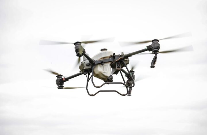
In recent years, advancements in technology have revolutionized the field of land surveying, with drones emerging as indispensable tools. The integration of unmanned aerial vehicles into surveying workflows has significantly enhanced accuracy, efficiency, and safety. These drones used in surveying provide high-resolution aerial imagery and precise geospatial data, enabling professionals to capture detailed topographical information quickly and cost-effectively compared to traditional methods.
The Evolution of Surveying Technology
Traditional land surveying methods often involve manual measurements and equipment such as total stations and GPS receivers. While effective, these techniques can be time-consuming and may pose challenges in difficult terrain or hazardous environments. The introduction of commercial drones has addressed many of these limitations by offering a versatile platform capable of accessing remote or otherwise inaccessible areas.
With the rise of surveillance drone technology, land surveyors can collect comprehensive data sets with minimal human intervention. This shift not only accelerates project timelines but also reduces the risk of human error, making surveying tasks more reliable and repeatable.
Key Advantages of Using Drones in Land Surveying
- Enhanced Accuracy: Drones equipped with advanced sensors and cameras can capture precise measurements that improve the quality of topographic maps and 3D models.
- Cost Efficiency: Deploying drones reduces the need for extensive manpower and expensive ground equipment, lowering overall project costs.
- Time Savings: Aerial surveys can cover large areas in a fraction of the time required by traditional ground surveys.
- Safety: Drones eliminate the need for surveyors to physically access dangerous or hard-to-reach locations, mitigating safety risks.
- Data Versatility: Captured data can be used for multiple applications including construction planning, environmental monitoring, and infrastructure management.
Understanding UAV vs Drone in Surveying Context
While the terms UAV (Unmanned Aerial Vehicle) and drone are often used interchangeably, subtle distinctions exist. UAV typically refers to the aircraft itself, while drone can imply both the vehicle and its autonomous or remotely piloted capabilities. In land surveying, understanding this difference is important for selecting the right equipment based on operational requirements.
For example, some projects may require fully autonomous flight paths for repetitive data collection, whereas others benefit from manual piloting to navigate complex environments. Choosing the appropriate UAV or drone platform ensures optimal results for specific surveying tasks.
Role of Acecore Surveying and Mapping in the Industry
Among the industry leaders advancing drone surveying technology is Acecore surveying and mapping, a company recognized for developing innovative UAV solutions tailored for precise geospatial data acquisition. Their cutting-edge platforms combine high-performance sensors with robust flight systems, delivering reliable and accurate results across varied surveying scenarios.
By integrating Acecore surveying and mapping technology, surveyors can leverage enhanced data processing capabilities and streamlined workflows, enabling faster decision-making and improved project outcomes.
Expanding Applications: Beyond Traditional Surveying
The utility of drones extends beyond land surveying to include drone inspection, drone utility inspection, and drone security applications. These complementary uses highlight the versatility of drone technology in monitoring infrastructure, ensuring public safety, and conducting surveillance operations. For instance, utility companies employ drones to inspect power lines and pipelines efficiently, while security teams utilize them for perimeter monitoring and rapid incident response.
Such diverse applications underscore the growing importance of drones as multifaceted tools within both commercial and industrial sectors.
Embracing the Future of Land Surveying
The integration of drones into land surveying represents a transformative shift toward smarter, faster, and safer workflows. As technology continues to advance, the capabilities of drones will expand, offering even greater precision and data analytics. Surveyors adopting these innovations position themselves at the forefront of a dynamic industry, ready to meet the evolving demands of modern infrastructure development and environmental management.